 Raft the Salmon
Middle Fork of the Salmon flows, month by month
The Middle Fork peaks in late May and early June at around 5,300 cubic feet per second on a typical year, then falls to about 750 by mid-August. That swing decides how big the whitewater is, how cold the water is, and where your trip starts.
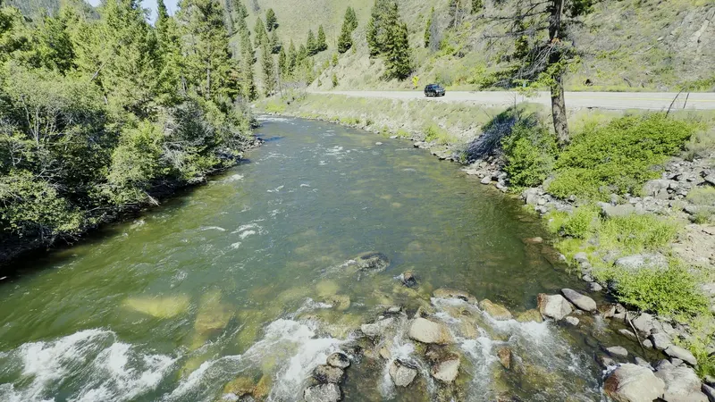
The gauge to watch
The Forest Service points to USGS gauge 13309220, Middle Fork Salmon River at Middle Fork Lodge, about 35 miles down the run. There is no gauge at Boundary Creek. Live reading on USGS
A typical year
| Date | Typical flow (cfs) |
|---|---|
| May 1 | 2,800 |
| June 1 | 5,300 |
| July 1 | 1,900 |
| August 1 | 900 |
| August 15 | 750 |
| September | 600 |
Median daily flow at Middle Fork Lodge, 1973–2026 (USGS). Any single year can be far higher or lower.
High water
Snow usually keeps the road to Boundary Creek closed until late May or early June. In June the river is high, fast and cold, and many outfitters raise their minimum age. If the water is above 5.0 feet, a private permit holder can cancel late without the usual penalty.
Low water and the fly-in
As the river drops, the top 25 miles below Boundary Creek get too shallow, and trips fly in to the Indian Creek airstrip instead. The Forest Service notes Indian Creek use rises when the river is around two feet; outfitters call it low water below about 2.2 feet, and several fly in from around the end of July. Some outfitters include the flight; others charge $120 to $300 or more. What a trip costs
The Main Salmon
For the Main Salmon at Corn Creek, the Forest Service says to add two gauges: Salmon River near Shoup (13307000) and the Middle Fork at its mouth (13310199). The Main near Shoup typically peaks around 9,300–9,600 cfs in early June.
Compare every outfitter
24 outfitters, 256 launches in 2027, with prices and open seats.